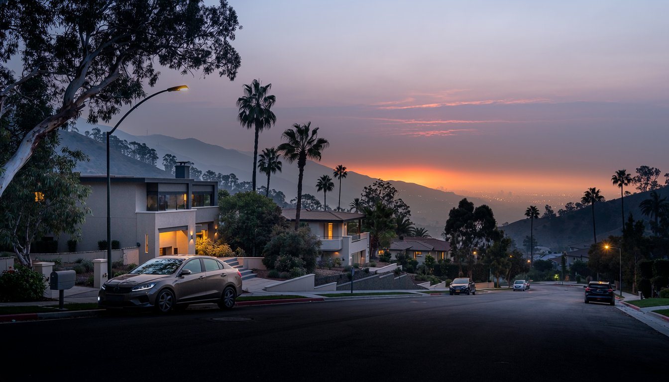
In January 2025, Bel Air watched the Palisades Fire burn closer than anyone wanted, under an evacuation warning that had people packing cars and watching the ridgeline. Search "fire rebuild Bel Air" today and you'll find surprisingly little that answers the actual question people have: did it happen here? It didn't. CAL FIRE's own structure-by-structure damage inspection records for the Palisades Fire show no inspected structures, destroyed or otherwise, within Bel Air's boundaries. We checked the record before writing this, because a lot of fire coverage lumps a warning in with a loss, and that's not fair to the neighborhoods that actually lost homes, or accurate about the ones that didn't. Here's what actually happened, and what Bel Air's real fire history means for homeowners now.
The short version
- CAL FIRE's own damage-inspection records show no structures, of any damage level, within Bel Air from the January 2025 fires; the area received an evacuation warning, not a mandatory evacuation.
- Real losses happened next door, in Mandeville Canyon and Brentwood.
- Bel Air remains a state-mapped Very High Fire Hazard Severity Zone, with real history, the 1961 Bel Air Fire, behind that classification.
- Current LA Fire Code brush-clearance rules apply now; the newer "Zone 0" ember-resistant rule is not yet in force.
What actually happened in January 2025
Bel Air received a Level 2 "Get Set" evacuation warning during the Palisades Fire, according to the Bel-Air Association's own after-action report, one step below a mandatory evacuation order. A separate, smaller fire, the Sepulveda Fire, burned nearby around the same time, and the same report states plainly that no structures were damaged in that fire either.
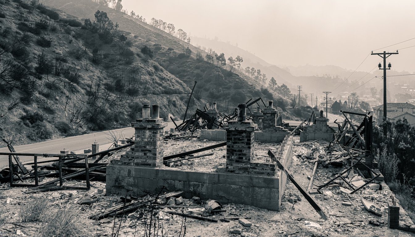
Real homes were lost close by. The confirmed destruction from the Palisades Fire was concentrated in Pacific Palisades, Topanga, and Malibu, but the losses nearest Bel Air were in the adjacent, distinct neighborhoods of Mandeville Canyon and Brentwood, where at least one home burned in Mandeville Canyon as the fire pushed toward the Valley. That loss is real and worth naming plainly before returning to Bel Air's own status. CAL FIRE's damage-inspection data backs this up geographically: querying the same public dataset against a box over Pacific Palisades returns thousands of inspected structures, a box over neighboring Mandeville Canyon returns dozens, and a box over Bel Air itself returns none. The City of Los Angeles's wildfire rebuild information is built around Pacific Palisades and doesn't list Bel Air as an area with confirmed losses or its own rebuild process either, which lines up with what actually happened on the ground.
What the neighborhood's own review found
The same Bel-Air Association after-action report is useful for what it says about the warning period itself, not only the outcome. It dates the Palisades Fire to January 7, 2025 and describes the Sepulveda Fire as starting late on January 23 and being put out within hours, at roughly 40 acres. Its findings are practical rather than dramatic. Cars parked in posted no-parking areas can block fire engines going in and residents coming out, and the report says the association has zero tolerance for it. Construction activity had no protocol for pausing on Red Flag days or during evacuation alerts, so enforcement fell to volunteers. Power was cut to the western part of the community during the Level 2 notification, which raised concern about crime. Sightseers also crowded roads that emergency vehicles needed.
Its recommendations for residents are equally plain: take part in Firewise-style home hardening, follow Red Flag parking restrictions, keep brush clearance current, and check your evacuation level regularly. None of that depends on whether a fire reaches your street this year. The lesson from a near miss is that on narrow hillside roads the constraint is often access, not water or vegetation alone. If you are planning exterior work on a hillside property, schedule it outside fire season where you can, and keep contractor trucks off posted no-parking streets on red flag days.
Why Bel Air's fire risk is real regardless of 2025
State fire-hazard mapping places points within Bel Air, including along Bel Air Road and Bellagio Road and near Stone Canyon Reservoir, in a "Very High" fire hazard severity zone. That's the same kind of terrain and hazard classification that put Bel Air under an evacuation warning in January 2025, and it isn't a new development. The November 1961 Bel Air Fire destroyed 484 dwellings and 21 other buildings, according to the LA Fire Department's own historical report, without a single fatality or serious injury. Two different events six decades apart point at the same underlying fact: Bel Air sits in real, mapped wildfire risk, whatever headlines say in a given year.
What the 1961 fire shows about how homes burn
The LAFD report is worth reading for its detail, because it describes conditions that still apply. The fire ran on November 6 and 7, 1961 and, per the same report, burned 6,090 acres of watershed in the Bel Air-Brentwood fire alone. Santana winds in the Santa Monica Mountains were running between 25 and 50 miles per hour that morning, and relative humidity had fallen to four percent. The report calls the local brush the most flammable ground cover in the western hemisphere, with growth reaching twenty-five feet in places, and says investigators believe the cause was accidental, though it was never determined precisely.
The number that matters most for a homeowner is the roofing figure. Of the 505 structures destroyed (484 residences plus 21 other buildings), the report counts 382 with wood roof coverings. That is 382 divided by 505, or about 75.6 percent, which matches the report's statement of more than 75 percent. California's Ready for Wildfire hardening guidance still opens its roof advice with the same point: "The roof is the most vulnerable part of your home." In our experience many older hillside houses have had a roof replaced but never had their vents, eaves or gutters looked at.
Current rules for hardening a Bel Air property
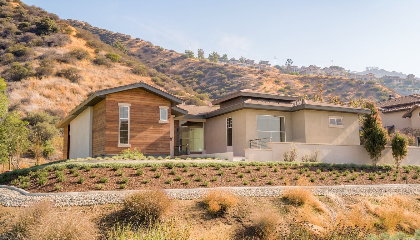
- Brush clearance: LAFD requires 200 feet of brush, weed, grass, and hazardous-vegetation clearance around structures in the Very High Fire Hazard Severity Zone, under LAMC Section 57.4906.5.2, plus a separate 10-foot clearance around combustible fences and driveways used for vehicle travel.
- "Zone 0" (not yet in force): The proposed 0-to-5-foot ember-resistant zone right against a structure isn't an enforceable statewide rule yet. California's Board of Forestry and Fire Protection adopted Zone 0 regulations in August 2026 and submitted them for final regulatory review, then withdrew that package in September 2026 for revisions, with no announced date to resubmit. Treat it as a strong signal of where the rules are headed, not a current requirement.
For scale, a 200-foot radius around a structure covers about 125,700 square feet (3.14 x 200 x 200), or roughly 2.9 acres. In our experience that circle often reaches past the lot line on hillside parcels, so ask LAFD how it treats adjoining land before you assume a neighbor's overgrown slope is not your concern, and talk to the neighbor early.
Clearance is only half of hardening. Embers, not just flame fronts, ignite houses, and the state's guidance says they can be "particularly destructive" at long range. The Ready for Wildfire guidance lists the building-side fixes that address them:
- Vents: cover them with 1/16-inch to 1/8-inch noncombustible, corrosion-resistant metal mesh.
- Roof edges and gutters: keep gutters free of plant debris, close gaps under roof tiles and shingles, and add a noncombustible metal drip edge.
- Eaves: box them in with ignition-resistant or noncombustible materials.
- Windows: use dual-paned windows with at least one tempered glass layer.
These are also the actions the California Department of Insurance's Safer from Wildfires framework counts toward insurance discounts. It lists ten, including a Class A roof, a 5-foot ember-resistant zone, enclosed eaves and removing sheds and outbuildings to at least 30 feet, and states: "Every action under Safer from Wildfires will qualify you for an insurance discount." The Department's consumer FAQ adds that different insurers may offer different discounts, so ask yours what it credits and get the answer in writing. Discount size is your insurer's call, so treat any figure you hear before that as unconfirmed.
Know your alert level before you need it
An evacuation warning and an evacuation order are different instructions. The LA County Sheriff's Department's evacuation guidance describes warnings as precautions in which you are not ordered to leave, and orders as mandatory. That distinction is why Bel Air's January 2025 status was a warning and not an order. A warning is when you use the time: gather people, pets, paperwork, prescriptions, photos, computers, cards and cash.
The LAFD's wildfire page directs residents to find their evacuation zone in advance at protect.genasys.com or in the Genasys Protect app, by typing in an address. Do this on a calm day and write the zone code where everyone in the house can see it, because an alert names zones, not streets.
If a future fire did reach Bel Air
Bel Air sits within the City of Los Angeles, not unincorporated LA County, so a future rebuild would fall under the same LADBS and City Planning process already used for Pacific Palisades, not LA County's separate process used in Altadena. For the process itself, our fire rebuild guide walks through it step by step; for cost and insurance, our rebuild cost guide covers that ground.
If your Bel Air property has smoke, ash, or minor exterior damage that stopped well short of a total loss, that's a different scope than either of those guides, and a licensed contractor can assess it directly.
Medici Construction Group is one licensed option for fire rebuilds, holding California A, B and C-10 licenses under CSLB #1114433.
Frequently asked questions
Were any homes destroyed in Bel Air during the 2025 fires?
No structures are recorded in Bel Air among CAL FIRE's own damage-inspection data for the Palisades Fire. Bel Air received an evacuation warning, and the Bel-Air Association's own after-action report confirms that warning without documenting any destroyed structures there.
What actually happened in Bel Air during the January 2025 fires?
Bel Air received a Level 2 "Get Set" evacuation warning during the Palisades Fire, one step below a mandatory evacuation. A separate, smaller Sepulveda Fire burned nearby around the same time, with no reported structure damage.
Is Bel Air at high risk of wildfire?
Yes. State fire-hazard mapping classifies parts of Bel Air as a Very High Fire Hazard Severity Zone, consistent with its history, including the 1961 Bel Air Fire, which destroyed 484 dwellings.
My Bel Air property has smoke or minor fire-adjacent damage but wasn't destroyed. What should I do?
That's a different scope than a full rebuild. A licensed contractor can assess smoke, ash, or minor exterior damage directly rather than treating it as a rebuild project.
Is the "Zone 0" ember-resistant zone required in Los Angeles yet?
Not yet. California's Board of Forestry adopted Zone 0 regulations in August 2026 but withdrew them from final regulatory review in September 2026 for revisions, with no announced timeline to resubmit.
What should Bel Air homeowners do now to reduce fire risk?
Confirm your property meets the current 200-foot brush clearance and 10-foot combustible-fence and driveway clearance rules, and keep an eye on when the pending Zone 0 ember-resistant rule eventually returns for final review.
What is the difference between an evacuation warning and an evacuation order?
Per the LA County Sheriff's Department, a warning is a precaution and you are not ordered to leave, while an order is mandatory and means leave immediately. Look up your zone at protect.genasys.com before an alert, since alerts are issued by zone.
Does hardening my home lower my insurance premium in California?
It can. The California Department of Insurance's Safer from Wildfires framework says every listed action, such as a Class A roof, ember-resistant vents or enclosed eaves, qualifies for a discount, but amounts vary by insurer, so ask yours what it credits.